Photo: Roman Castillo / Pexels
Thailand Weather Forecast: Heavy Rain and Rough Seas, May 26–29
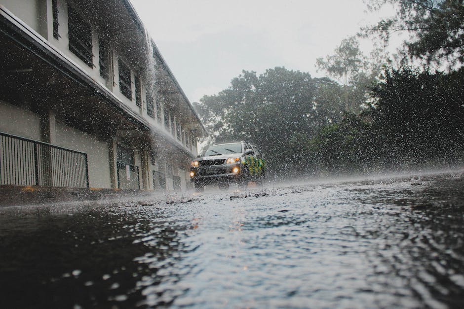
A moderate southwest monsoon is currently active across the Andaman Sea, Thailand, and the Gulf of Thailand, bringing thunderstorms to every region of the country during the 24-hour period from 6:00 AM May 26 to 6:00 AM May 27. Conditions are set to worsen over the following days, with increased rainfall and strengthening winds forecast for May 28–29, particularly along the west coast of South Thailand. Residents and visitors across affected areas are urged to stay cautious of heavy rain and accumulated rainfall.
Conditions Around Koh Lanta (Andaman Sea / West Coast)
Koh Lanta sits on the lower Andaman Sea, which is seeing wave heights of 1–2 metres on May 26, rising to 2 metres or more during thunderstorms. Further north in the upper Andaman Sea, waves are already around 2 metres and are forecast to reach 2–3 metres by May 28–29, exceeding 3 metres during thunderstorm periods. The west coast of South Thailand is flagged as the most affected area for the upcoming period.
The Thai Meteorological Department (TMD) is advising boat operators to proceed with caution and to avoid sailing in areas where thunderstorms are present.
Regional Forecast Overview (May 26)
All regions of Thailand are seeing thunderstorm activity, though coverage and temperatures vary:
- North Thailand: 40% storm coverage, temperatures 22–38°C, winds 10–20 km/h southwest
- Northeast Thailand: 30% storm coverage, temperatures 23–38°C, winds 10–20 km/h southwest
- Central Thailand: 40% storm coverage, temperatures 24–39°C, winds 10–20 km/h southwest
- East Thailand: 40% storm coverage, temperatures 24–37°C, winds 15–35 km/h southwest
- South Thailand (east coast): 40% storm coverage, temperatures 23–38°C, winds 15–35 km/h southwest
What to Watch For May 28–29
South Thailand is forecast to see increased rainfall, with heavy to very heavy rain expected in some areas. The southwest monsoon is expected to strengthen during this period, making the west coast of the south the most heavily impacted zone. Wave heights in the upper Andaman Sea could exceed 3 metres during thunderstorms, which is a serious concern for any boat travel.
Practical Tips for Visitors
- Carry rain gear and be ready for sudden heavy downpours
- Avoid boat trips and water activities during thunderstorm periods
- Check TMD updates daily, as conditions can shift quickly
- Follow all maritime warnings if you are planning any island-hopping or diving trips
- If you are on the east coast around the Chumphon, Surat Thani, or Nakhon Si Thammarat area, similar caution applies for offshore conditions
Information sourced from The Thaiger.