Photo: Dibakar Roy / Pexels
Thailand Weather Forecast: June 1, 2026 – Heavy Rain Nationwide
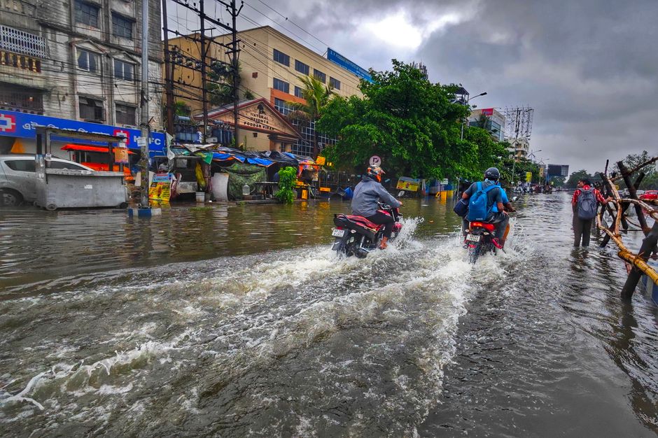
Thailand's Meteorological Department (TMD) has issued a forecast for June 1, 2026 warning of heavy rain and thundershowers across the entire country, driven by a strengthening southwest monsoon over the Andaman Sea and Gulf of Thailand. The southern west coast, which includes Krabi, Phuket, and nearby islands, faces the most severe conditions nationally, with small boats in the upper Andaman Sea advised to stay ashore. Flash flood risks, rough coastal waters, and travel disruptions are expected in multiple regions throughout the day.
What's Driving the Weather
The southwest monsoon is intensifying over the Andaman Sea, the South, and the Gulf of Thailand. A monsoon trough stretches across the lower North, upper Central, and lower Northeast regions, while a low-pressure cell sits off the coast of central Vietnam. Together these systems are producing widespread thundershowers, with risks of flash flooding and overflow near foothills, waterways, and low-lying areas across the country.
Southern West Coast (Krabi, Phuket, Trang, Satun, Phang Nga, Ranong)
This region is seeing the worst conditions in Thailand today. TMD forecasts fairly widespread thundershowers with isolated heavy to very heavy rain. Temperatures range from 24 to 36°C.
Wave and wind conditions break down by area:
- Phuket and northward: Southwesterly winds of 20 to 40 km/h, with upper Andaman Sea waves of 2 to 3 metres, rising above 3 metres during thundershowers
- Krabi and southward: Winds of 20 to 35 km/h with waves around 2 metres, rising above 2 metres in thundershowers
The TMD has advised all small boats in the upper Andaman Sea to remain ashore. Ferry services and island-hopping tours in the Phuket, Phang Nga, and Ranong areas may be suspended or unsafe today.
Southern East Coast (Chumphon, Surat Thani, Prachuap Khiri Khan, Phetchaburi)
Scattered thundershowers and isolated heavy rain are forecast along the Gulf coast. Temperatures range from 23 to 37°C with southwesterly winds of 15 to 35 km/h. Coastal waves are around 1 metre nearshore, 1 to 2 metres offshore, and above 2 metres during thundershowers.
Eastern Region (Pattaya/Chon Buri, Rayong, Koh Chang/Trat, Chanthaburi)
Heavy rain is forecast throughout the eastern region with temperatures ranging from 23 to 37°C. Southwesterly winds of 15 to 35 km/h are expected, and coastal waves of 1 to 2 metres, exceeding 2 metres during thundershowers. Beach and water activities in this region carry elevated risk today.
Bangkok and Central Region
Bangkok can expect scattered thunderstorms and isolated heavy rain, with temperatures of 24 to 36°C and southwesterly winds of 10 to 25 km/h. The broader Central region including Kanchanaburi, Ratchaburi, and Nakhon Pathom faces similar conditions, with temperatures ranging from 23 to 36°C. Transport disruptions and impacts on outdoor activities are likely.
Northern and Northeastern Regions
Scattered thundershowers and isolated heavy rain are forecast for parts of the North, including Tak and Kamphaeng Phet, with temperatures from 21 to 38°C and variable winds. The Northeast, covering provinces such as Loei, Nakhon Ratchasima, and Ubon Ratchathani, is forecast for thundershowers with temperatures of 22 to 37°C. Low-lying areas and riverbanks across both regions face flash flood and overflow risk.
What to Keep in Mind
Despite the rain, temperatures remain warm across all regions, with highs of 36 to 38°C in several areas. That means conditions are more likely to produce intense, shorter-duration thunderstorms rather than all-day grey drizzle. That said, those short bursts can still cause flooding and hazardous sea conditions quickly, so checking conditions before heading out on the water or into mountainous or riverside areas is a good idea today.
Information sourced from The Thaiger.