
Photo: Zakaria Joy / Pexels
Thailand Weather Forecast: July 18, 2026
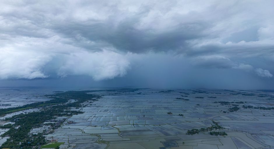
The Thai Meteorological Department (TMD) issued its Saturday forecast with the southwest monsoon driving unsettled weather across the whole country. A low pressure cell sitting over northern Vietnam is adding extra energy to the system, and no region is getting a dry day. Expect afternoon storms almost everywhere, with the Eastern seaboard taking the worst of it and the Andaman coast seeing moderate but changeable conditions.
Conditions Around Koh Lanta and the Andaman Coast
For travellers on Koh Lanta, Krabi, and the southern Andaman coast, storm coverage sits at 30% today. Temperatures range from around 24-26°C at night to 32-35°C in the afternoon, with southwest winds at 15-30 km/h. Waves are running at roughly 1 metre in calmer spells but can exceed 2 metres during thunderstorms. Water activities are possible, but conditions can shift quickly. Check with your tour operator before heading out on a boat trip.
Further north around Phuket and Phang Nga, winds are stronger at 15-35 km/h and waves reach 1-2 metres, rising above 2 metres in storms. Boat trips in that zone carry a real risk today.
Where the Worst Weather Is
The east coast is seeing the heaviest rain nationally, with 40% storm coverage and winds gusting to 35 km/h. Chanthaburi and Trat are specifically flagged by the TMD. Waves in the area are 1-2 metres, climbing above 2 metres during storms. Travellers near Koh Chang or planning ferry crossings in Trat should expect disruption to boats and diving.
The TMD has also warned of flash floods and runoff in East Thailand, particularly near mountain slopes, waterways, and low-lying land. If you are in that area, stay alert to rising water levels.
Sea Conditions and Sailor Advisory
The upper Andaman Sea and upper Gulf of Thailand are running 1-2 metre waves. The lower Andaman Sea (covering the Koh Lanta area) is around 1 metre under normal conditions. Anywhere storms develop, waves may exceed 2 metres. The TMD advises sailors to avoid stormy waters today.
Regional Snapshot
| Region | Storm Coverage | Temps (low / high) | Wind |
|---|---|---|---|
| North (incl. Chiang Rai, Nan) | 30% | 22-25°C / 30-34°C | SW 10-20 km/h |
| Northeast (incl. Ubon, Nakhon Phanom) | 30% | 22-25°C / 32-35°C | SW 10-20 km/h |
| Central (incl. Kanchanaburi) | 30% | 25-26°C / 34-36°C | SW 10-20 km/h |
| East (incl. Chanthaburi, Trat) | 40% | 23-26°C / 32-34°C | SW 15-35 km/h |
| South East Coast (incl. Chumphon, Pattani) | 30% | 23-25°C / 33-36°C | SW 15-30 km/h |
| South West Coast (incl. Phuket, Trang, Koh Lanta area) | 30% | 24-26°C / 32-35°C | SW 15-35 km/h (north), 15-30 km/h (south of Phuket) |
| Bangkok | 40% | 25-27°C / 33-36°C | SW 10-20 km/h |
Practical Tips for Today
Morning windows tend to be clearer before storms build through the afternoon. Carry rain gear wherever you are in Thailand today. If you are in Bangkok, allow extra travel time for afternoon downpours. For outdoor activities up north around Chiang Mai, conditions are lighter than the coasts but still worth preparing for rain.
Information sourced from The Thaiger.