
Photo: Dibakar Roy / Pexels
Heavy Rain Alert: Thailand Braces for Widespread Downpours Through September 7
The Thai Meteorological Department (TMD) has issued a 24-hour weather warning covering 6am on September 6 through 6am on September 7, 2026, flagging heavy rain, flash flood risk, and rough seas across much of the country. The warning is driven by a monsoon trough stretching across the North and upper Northeast into a low-pressure area over the upper South China Sea, combined with a moderate southwest monsoon covering the Andaman Sea, mainland Thailand, and the Gulf of Thailand. The heaviest rainfall is expected in the eastern Northeast, but effects will be felt nationwide, including along the Andaman coast near Koh Lanta.
What's Causing It
TMD reported that a monsoon trough is currently sitting across North and upper Northeast Thailand, extending into a low-pressure area over the upper South China Sea. At the same time, a moderate southwest monsoon is affecting the Andaman Sea, the Gulf of Thailand, and mainland areas in between. Together, these systems are expected to bring the heaviest rain to the eastern Northeast, with widespread showers elsewhere.
Flood Risk
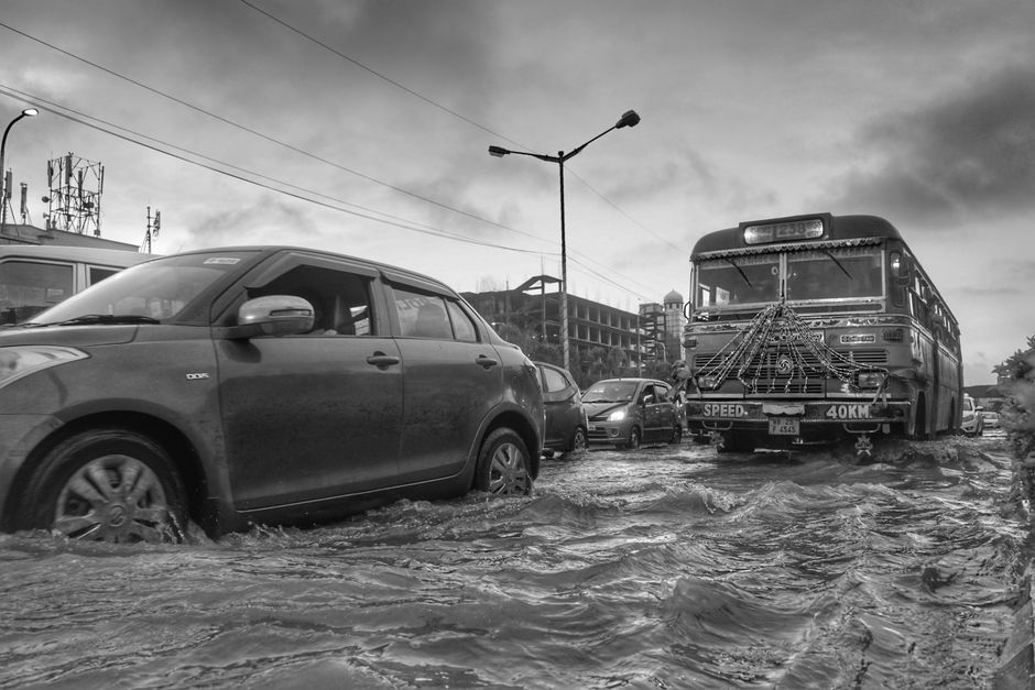
TMD warned of flash flood and runoff risk in the Mekong basin, hillside areas near waterways, low-lying zones, and any spots with a history of repeated flooding. Waterlogged roads were specifically flagged as a driving hazard, and TMD noted that short-term flooding is possible even in places without a prior flooding history.
Sea Conditions
Waves in the upper Andaman Sea are expected to reach around 2 metres, rising higher than that during thunderstorms. TMD advised sailors on both the Andaman Sea and the Gulf of Thailand to avoid storm areas during this period.
Regional Breakdown
| Region | Storm Coverage | Low °C | High °C | Wind | Notable Provinces |
|---|---|---|---|---|---|
| North | 70% | 22–27 | 32–37 | Variable, 10–20 km/h | Mae Hong Son, Chiang Mai, Lampang, Nan, Phrae, Uttaradit, Sukhothai, Tak, Phichit, Phitsanulok, Phetchabun |
| Northeast | 70% | 23–26 | 31–35 | SW, 10–20 km/h | Loei, Nong Khai, Bueng Kan, Udon Thani, Sakon Nakhon, Nakhon Phanom, Khon Kaen, Kalasin, Mukdahan, Maha Sarakham, Roi Et, Yasothon, Amnat Charoen, Surin, Si Sa Ket; very heavy rain singled out for Ubon Ratchathani |
| Central | 60% | 23–26 | 35–37 | SW, 10–20 km/h | Lop Buri, Saraburi, Ayutthaya, Kanchanaburi, Ratchaburi, Nakhon Pathom, Samut Sakhon |
| East | 60% | 24–28 | 32–35 | SW, 15–35 km/h | Nakhon Nayok, Prachin Buri, Chachoengsao, Chanthaburi, Trat; seas 1–2m, above 2m in storms |
| South (East Coast) | 30% | 23–26 | 34–36 | SW, 15–35 km/h | Phetchaburi, Prachuap Khiri Khan, Chumphon, Surat Thani, Narathiwat; seas around 1m, up to 1–2m offshore, above 2m in storms |
| South (West Coast) | 40% | 24–27 | 31–34 | Phuket-northward: SW 20–35 km/h (seas ~2m, higher in storms); Krabi-southward: 15–35 km/h (seas 1–2m) | Ranong, Phang Nga, Trang, Satun |
| Bangkok & Vicinity | 60% | 26–28 | 34–36 | SW, 10–20 km/h | — |
What This Means for Tourists
The Koh Lanta and Krabi area sits on the South West Coast, which has the lowest storm coverage of any region at 40 percent, but seas are still expected to run around 2 metres and higher during squalls. That's worth factoring in if you have a boat transfer, island-hopping tour, or diving trip planned, as rough-sea days can mean delays or cancellations.
Visitors in Bangkok should expect afternoon and evening thunderstorms (60 percent coverage) alongside hot daytime highs of 34 to 36°C, so it's worth having an indoor backup plan for when the rain hits.
Travelers in the North and Northeast face the highest storm coverage at 70 percent, along with flash flood risk, particularly near Mekong-adjacent provinces and in Ubon Ratchathani. It's best to avoid low-lying or flood-prone roads in these areas during the warning period.
Anyone chartering boats or ferries on the Andaman Sea or Gulf of Thailand should check in with their operator, since TMD has specifically cautioned against sailing into storm areas with waves exceeding 2 metres.
As general advice, carry rain gear, keep in mind that short-term flooding can happen even in areas without a history of it, and build some buffer time into your travel plans during this 24-hour warning window.
Information sourced from The Thaiger.